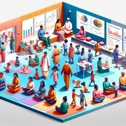
Welcome to the World of Geospatial Techniques
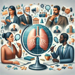
Climate change is a pressing global issue with profound effects on human health. From extreme weather events to rising temperatures, the impacts are felt worldwide. But what if there was a way to better understand and mitigate these effects? Enter geospatial techniques—a powerful tool in the fight against climate change.
Why Geospatial Techniques Matter
Geospatial techniques involve the use of geographic information systems (GIS), remote sensing, and other methods to collect, analyze, and visualize spatial data. These techniques allow us to:
- Monitor environmental changes in real-time.
- Predict future climate patterns and their potential impacts on human health.
- Develop targeted strategies for climate change adaptation and mitigation.
How Geospatial Techniques Can Help Practitioners
For practitioners, incorporating geospatial techniques into their work can enhance their ability to address climate-related health issues. Here's how:
- Accurate Assessments: Use GIS to create detailed maps that highlight areas at risk of climate-related health impacts, such as heatwaves or flooding.
- Predictive Modeling: Develop models to forecast future climate scenarios and their potential health outcomes, enabling proactive planning.
- Resource Allocation: Identify vulnerable populations and allocate resources more effectively to those in need.
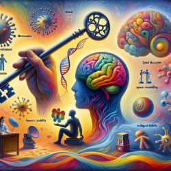
Encouraging Further Research
While geospatial techniques offer immense potential, continuous research is crucial. Practitioners are encouraged to delve deeper into this field to explore innovative solutions for climate change mitigation. Collaboration with experts in geospatial science can lead to breakthroughs that benefit public health on a global scale.
Real-World Applications
Geospatial techniques have already proven their worth in various real-world scenarios. For example, in Los Angeles, GIS has been used to map urban heat islands and develop strategies to increase tree canopy coverage, reducing heat impacts on vulnerable communities. Such applications demonstrate the power of geospatial data in creating healthier environments.
Conclusion
Geospatial techniques are transforming how we approach climate change and its effects on human health. By integrating these methods into their practice, practitioners can make more informed decisions, ultimately leading to better health outcomes for communities worldwide.
To read the original research paper, please follow this link: Geospatial techniques for monitoring and mitigating climate change and its effects on human health.